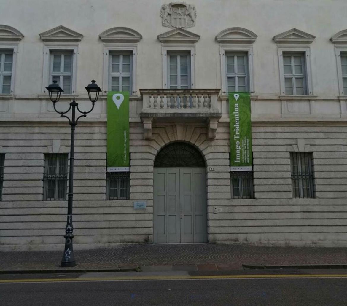
Geo-Cartographic Centre for Studies and Documentation (GeCo)
Imago Trentina. Manuscript historical cartography of Trentino from our territorial archives. A virtual exhibition itinerary that is a journey through the centuries-old history of Trentino's territory.
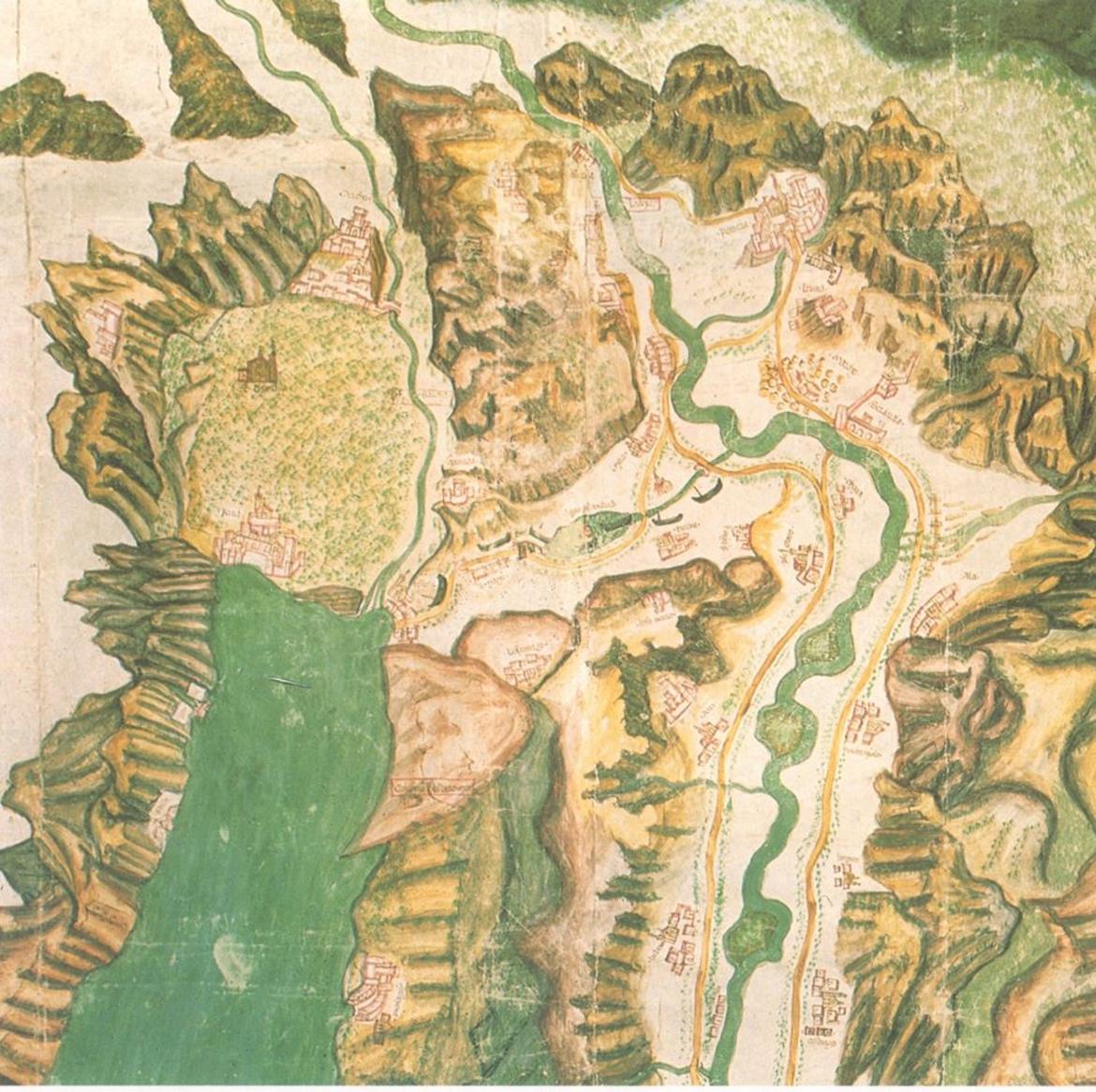
The exhibition is a journey through the centuries of history of the territory of Trentino. The object of this space and time exploration are the manuscript historical maps produced between the XVI and the XX century. Today these works, which are preserved in numerous provincial archives, can finally be seen in a unique and comprehensive framework. Historical cartography, which is a highly semantic, heuristic and polysemic instrument, represents a window into the past that gives visitors an image of the identity of places and manages to unveil and convey meanings, values and information about historical landscapes.
The world of historical cartography, representing the region of Trentino, poses a challenge for research. On one hand it is the main source for tracing the history of a territory and its landscape and can be used to gather information for the management and enhancement of historical, cultural and environmental heritage, as well as for sustainable territorial planning. On the other hand it is to be considered a part of cultural heritage itself, an expression of knowledge and local practises.
Due to its strategic location close to the Austrian border, Trentino has been affected by both the Middle-European and Italian cultures, by different intellectual impulses and technical experiments that have left their mark on geographic production. In short, Trentino is a large and centuries old cartographic workshop.
Starting from these preliminary considerations and programmatic premises , the idea of an exhibition was conceived not to be intended in the sense of an arrival point, but of an opportunity for reflecting on and sharing the complex nature of the maps representing Trentino. All documents collected for the exhibition are manuscripts and unique pieces which have been preserved thanks to the work of several institutions responsible for their conservation. The display has been divided into 7 macro themes:
- Rovereto and Vallagarina;
- Woods and forests;
- Water and hydraulic interventions;
- Borders, territories and possessions;
- Towns and settlements ;
- Military cartography ;
- Aristocratic cartography.
The maps provide useful insights to reflect on the territory as a crucial resource for all of us. Especially today their study is particularly relevant, as our decisions concerning the future are a conscious result of an overpowering growth, which had been impossible until a few decades ago. With this in mind, we welcome visitors to this diachronic exploration in which historical maps are like a memory book that can help and retrace the biography of the territory of Trentino.
Source: Centro Geo-Cartografico di Studio e Documentazione (GeCo)
See the virtual tour
Download the Catalogo Imago Tridentina_light2.pdf 2,25 MB
Follow the facebook page
For information
Centro Geo-Cartografico di Studio e Documentazione (GeCo)
tel. 0464-808469 - email: geco.lett@unitn.it
05/05/2020